Every layer of your waterbody, professionally mapped
We're a full-service mapping company. Our team collects the sonar and GPS data on-site, then processes it into the deliverables below. Choose one service or combine them into a single survey.
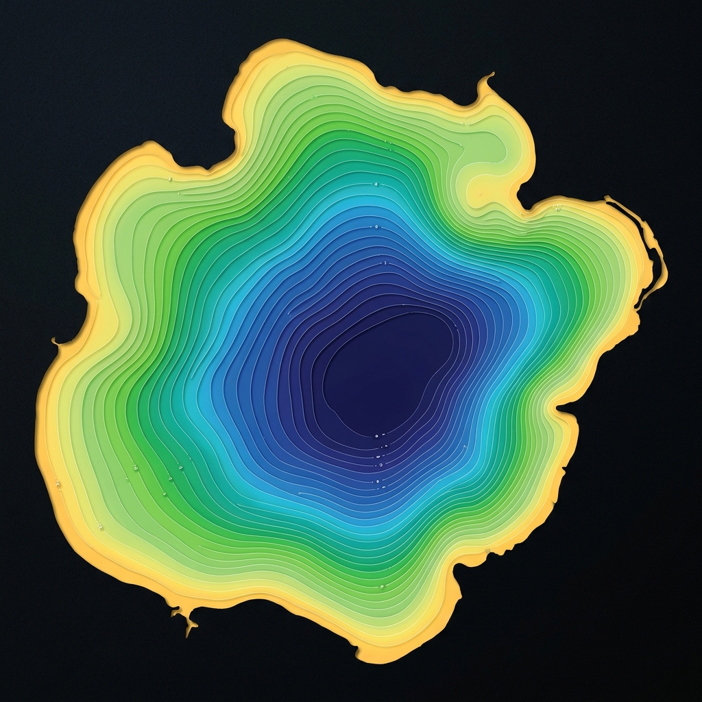
Bathymetric / Depth Mapping
We map the underwater terrain of your lake, pond, or reservoir with survey-grade sonar, producing precise depth contours and volume calculations you can act on.
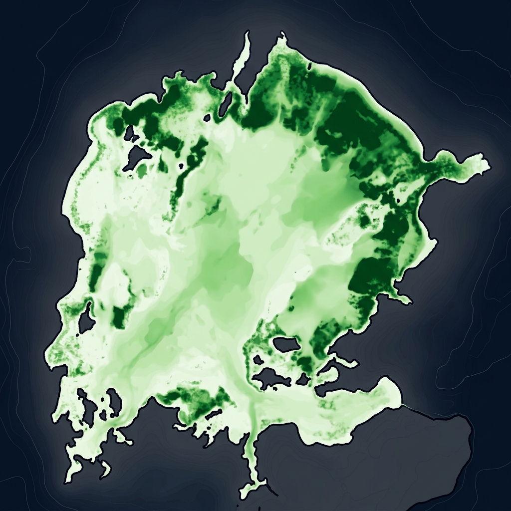
Aquatic Vegetation Mapping
Identify where aquatic plants grow, how dense they are, and how coverage changes over time — the foundation for effective vegetation management.
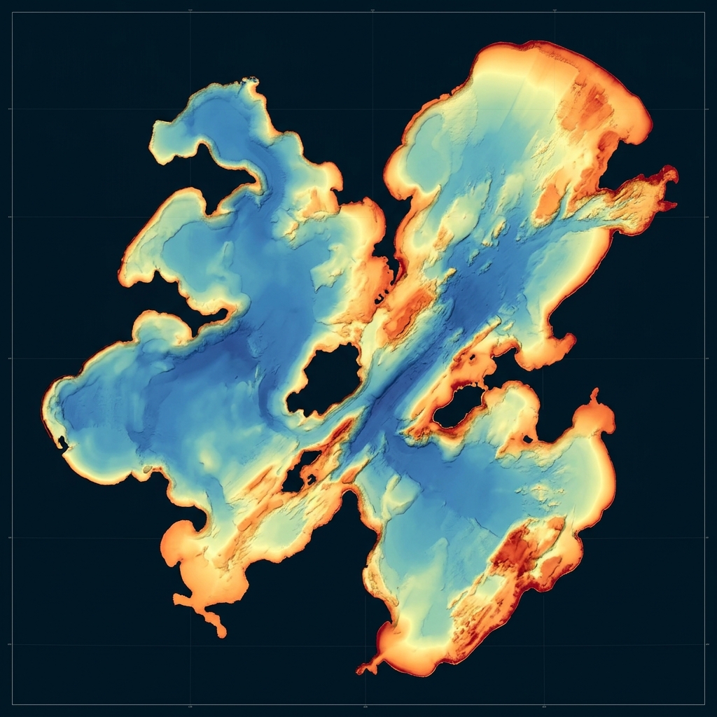
Bottom Composition & Hardness
Understand your lakebed. Our hardness mapping distinguishes soft, muck-laden zones from firm bottom to support dredging, habitat and shoreline decisions.
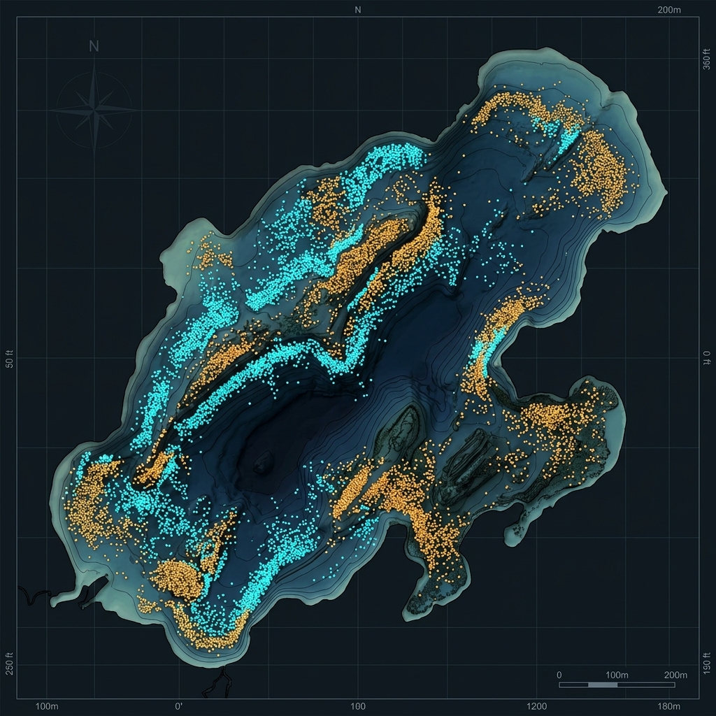
Fish & Habitat Mapping
Sonar-derived fish and habitat insights show where fish hold, at what depths, and how densely — invaluable for fisheries and habitat management.
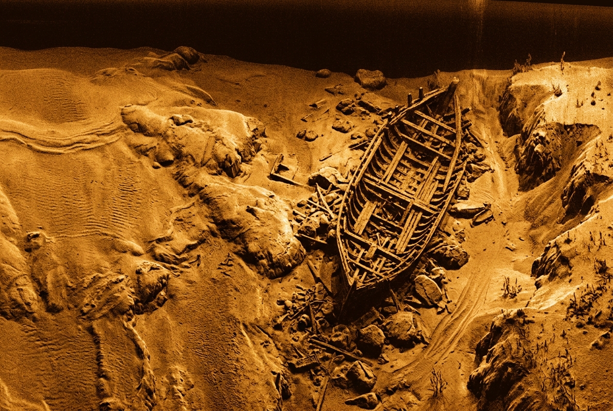
Side-Scan Imagery & Contours
Side-scan sonar reveals submerged structure, debris, and bottom texture in vivid detail, paired with contour mapping for a complete subsurface picture.
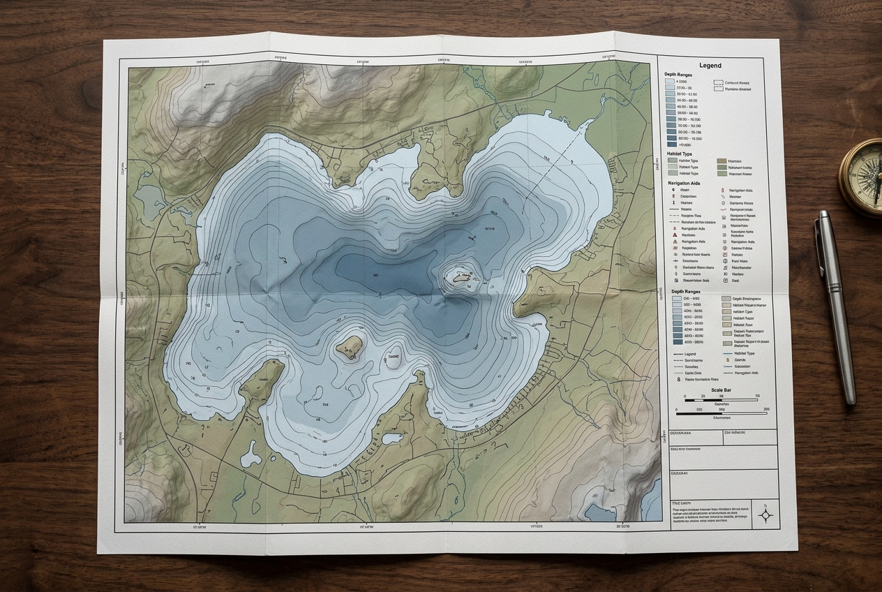
GIS Map Services
We turn survey data into polished, shareable deliverables — from interactive GIS layers to large-format printed maps for boards, districts and residents.
Survey Planning
Every project starts with a plan. We design transect patterns and GPS coverage to ensure thorough, repeatable data across the entire waterbody.
Ready to see what's beneath the surface?
Tell us about your waterbody and goals. We'll plan the survey, collect the data on-site, and deliver finished maps and reports — no software to learn, no fieldwork on your end.