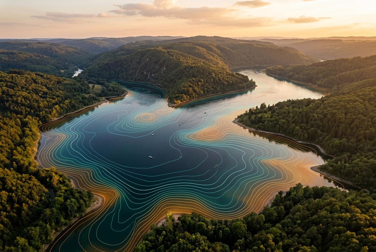
Precision maps of everything beneath the surface
Lake Monitor AI comes to your waterbody, collects survey-grade sonar data, and delivers finished depth, vegetation, habitat and GIS maps. We do the work — you get the insight.
Explore a finished survey
This is the kind of map you receive. Hover for live depth readings, switch layers, compare two survey years, click two points to measure — then download a snapshot to share.
Sample Survey: Clearwater Reservoir (demo data)
Hover or tap anywhere on the map to read live depth, vegetation and bottom type.
Quality-Reviewed Data
Every dataset is checked by our hydrographers before it reaches you.
Cloud-Accessible Maps
Access your finished maps and data anywhere, ready to share.
Expert Field Team
Trained surveyors and GIS specialists handle everything on-site.
US & Canada Coverage
We travel to your waterbody across the United States and Canada.
A complete picture of your waterbody
From depth and sediment to vegetation and fish habitat — one team, one survey, every layer you need.
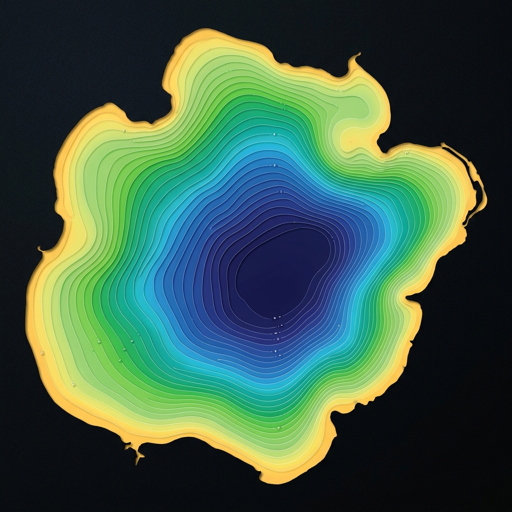
Bathymetric / Depth Mapping
Detailed, accurate depth maps of any waterbody.
Learn more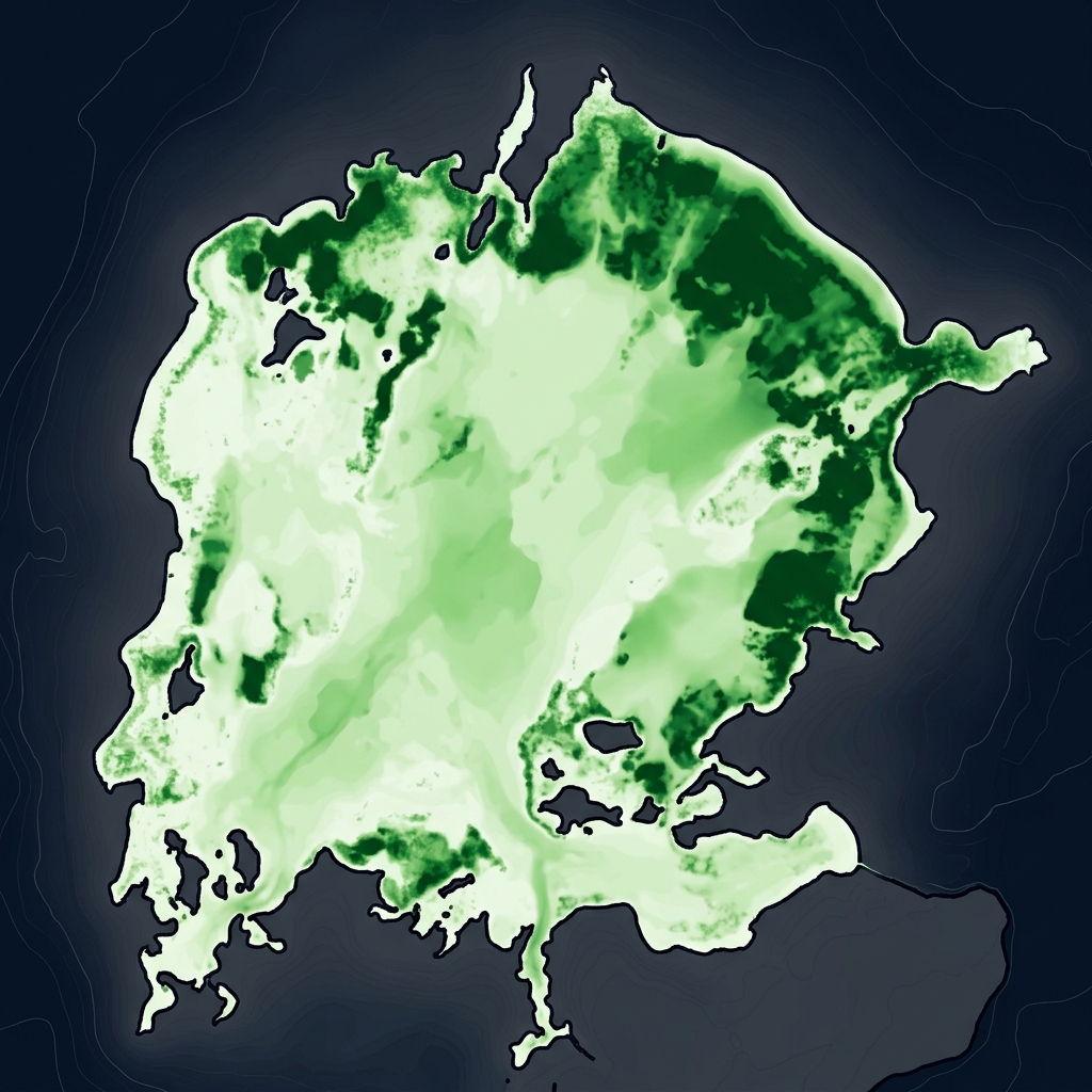
Aquatic Vegetation Mapping
Plant presence, coverage and biovolume for lake health.
Learn more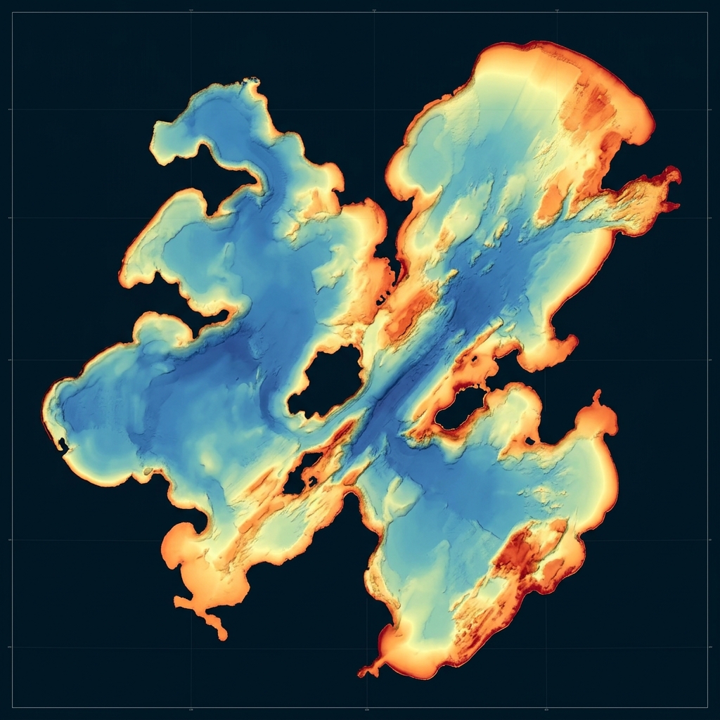
Bottom Composition & Hardness
Map soft sediment vs. firm bottom across the basin.
Learn more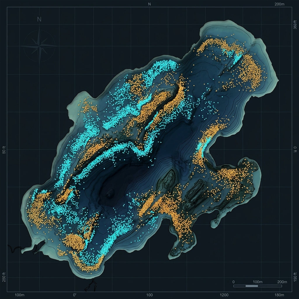
Fish & Habitat Mapping
Fish counts, depths, sizes and density.
Learn more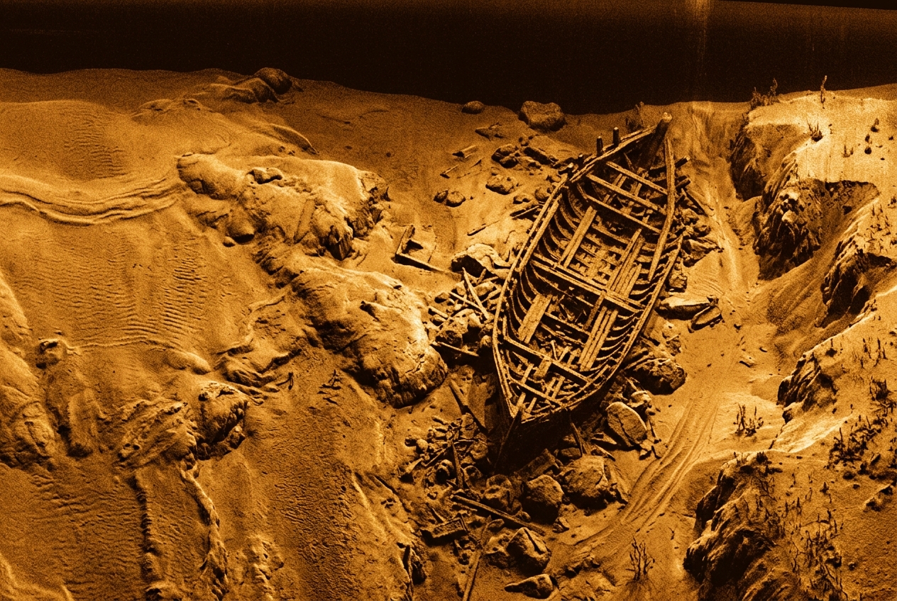
Side-Scan Imagery & Contours
High-resolution imagery of submerged features.
Learn more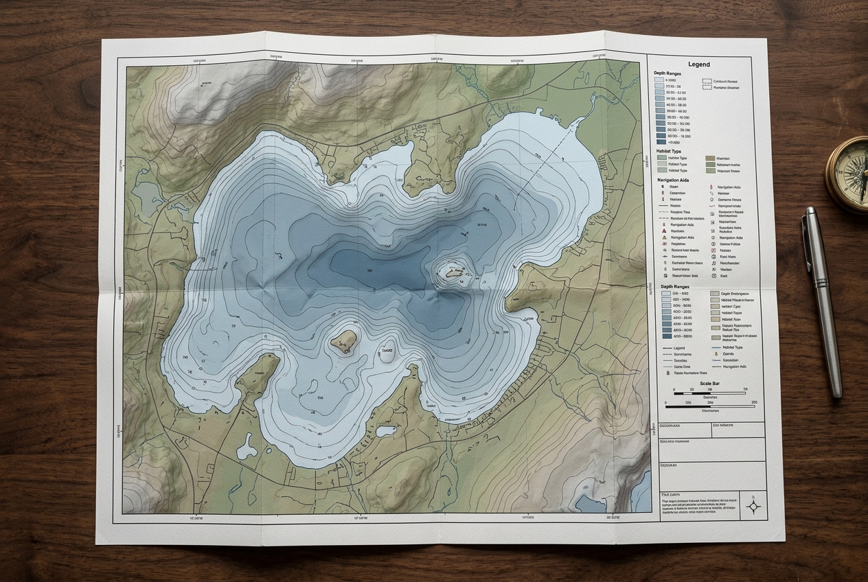
GIS Map Services
Custom digital and print maps for stakeholders.
Learn moreFull-service from first call to final map
Consult & Plan
We learn your goals, then design a survey plan and transect coverage tailored to your waterbody.
On-Site Data Collection
Our team travels to your site and collects survey-grade sonar and GPS data from our boat — you don't lift a finger.
Processing & Review
Data is processed and quality-reviewed by our hydrographers and GIS specialists for accuracy.
Delivered Maps & Reports
You receive finished, cloud-accessible maps, data layers, and a clear report ready to share.
Tailored to your waterbody
Water Resources & Reservoirs
- Track reservoir storage capacity and sedimentation over time
- Plan dredging with accurate volume and hardness data
- Document conditions for regulatory and public reporting
Community & Municipal Lakes
- Understand depth and vegetation for recreation and safety
- Guide fisheries and habitat improvement programs
- Share clear maps with councils and the public
HOAs & Lake Associations
- Justify vegetation and dredging budgets with real data
- Monitor lake health year over year
- Give residents professional, easy-to-read maps
Homeowners & Private Ponds
- Know the true depth and volume of your pond
- Plan stocking, aeration or dredging with confidence
- Get a beautiful map of your own waterbody
Frequently asked questions
Straight answers about bathymetric surveys, vegetation mapping and what to expect when you work with us.
Ready to see what's beneath the surface?
Tell us about your waterbody and goals. We'll plan the survey, collect the data on-site, and deliver finished maps and reports — no software to learn, no fieldwork on your end.